Tag Archives: hiking

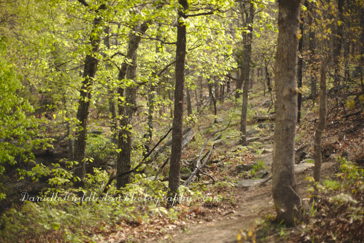
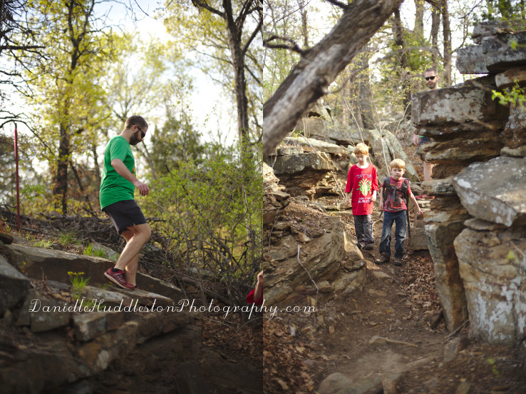
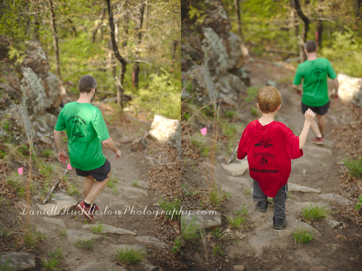
Keystone Mountain Bike & Hiking Trail ~Keystone Lake, OK

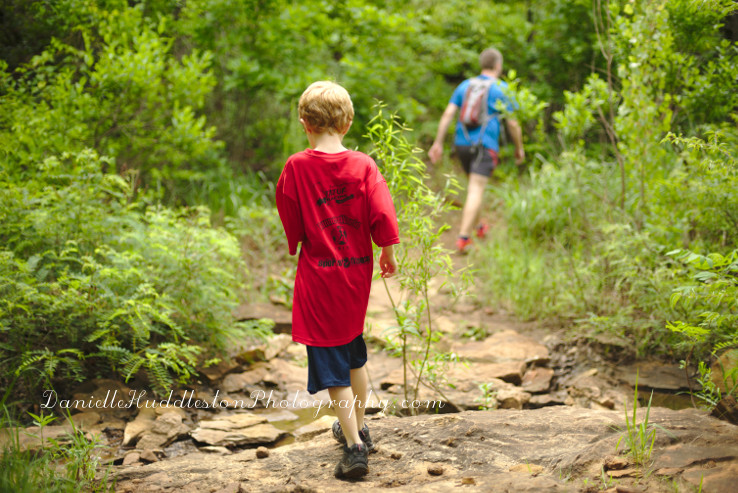
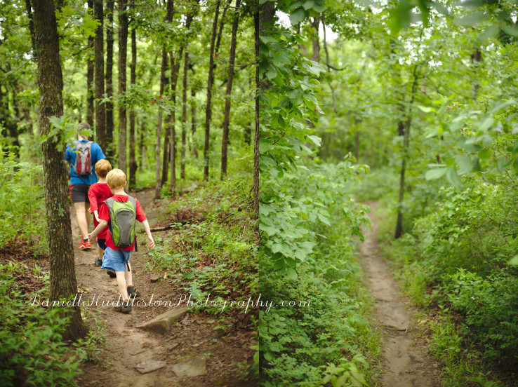
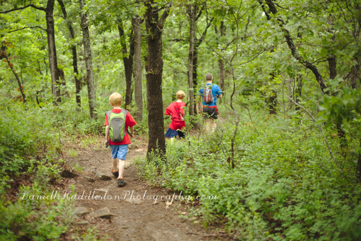
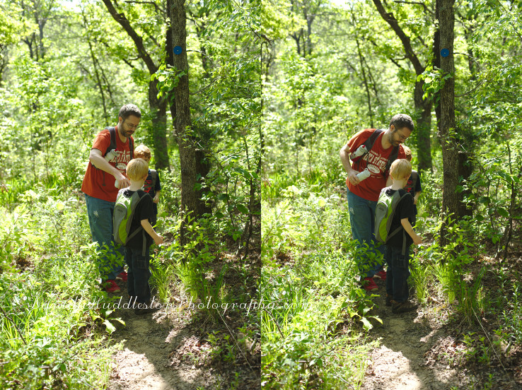
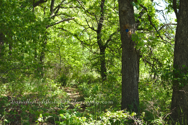
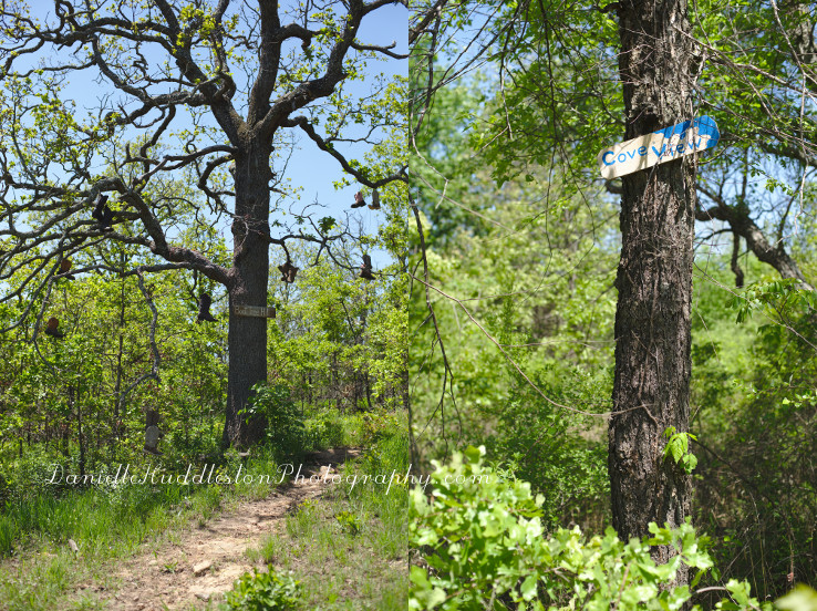
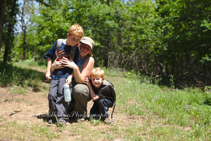
 I asked my husband if we could hike the Keystone trail so I could get new pictures to do an updated blog post.

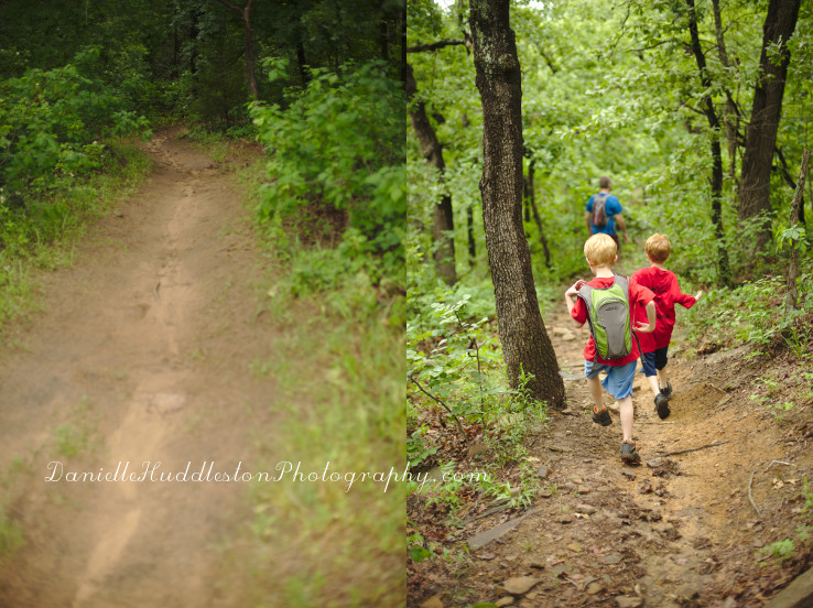
We visit this trail a couple times a year but recently we have been running it so I do not bring my camera.

It was nice to go through it at a little slower pace last Saturday.

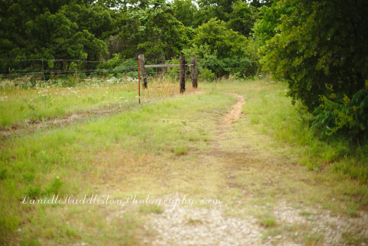
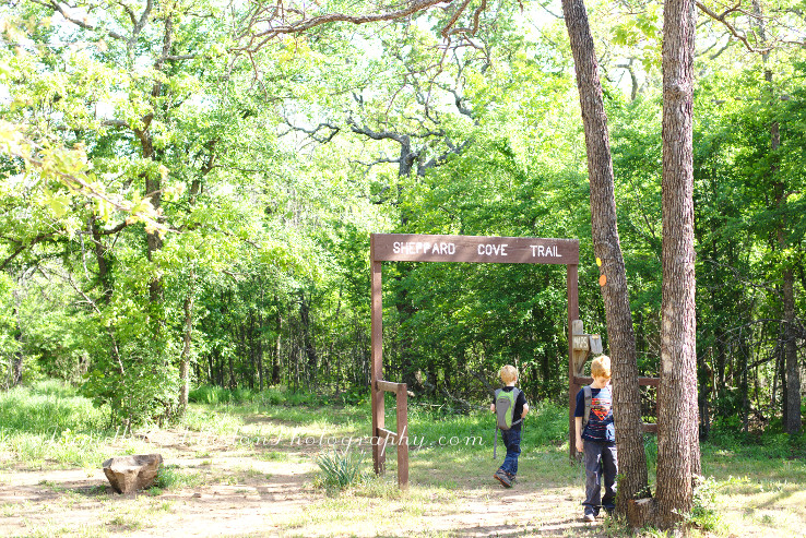
entrance

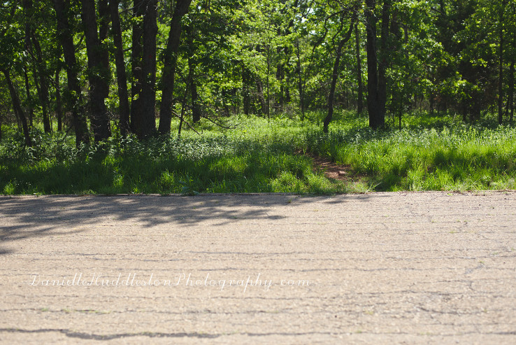
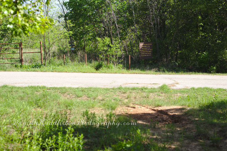
The parking lot is located across from the Keystone State Park.

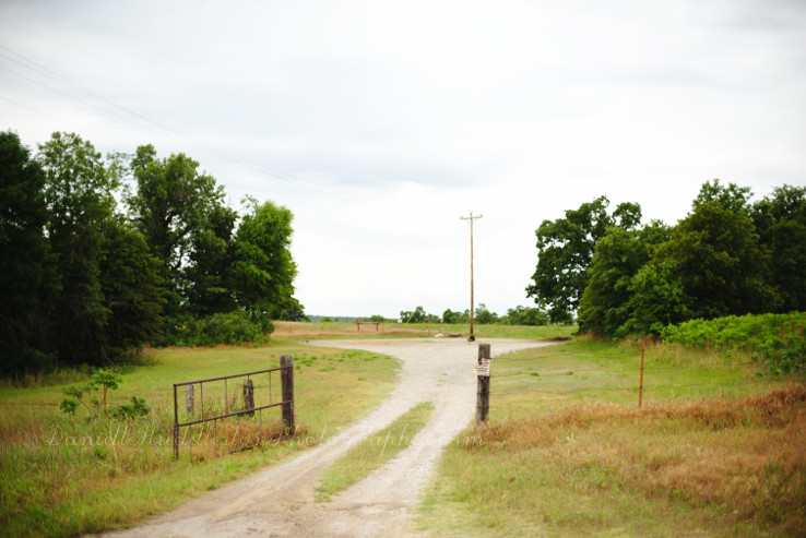
I realized when we pulled up that it can be a little hard to find unless you already know what you are looking for so I took a picture of the entrance.

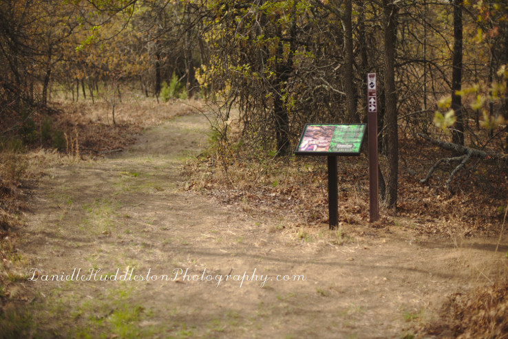
start

Once you pull into the parking lot there are two main entrances to the trail system.

We usually do a loop so it does not really matter which way we go.

There is a map at the travelok.com site to help you out though.

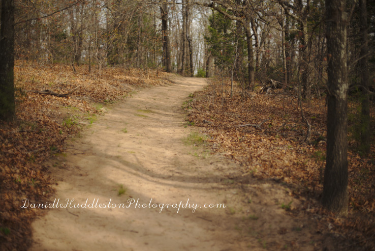
trailhead

This was one of the earlier hikes my husband and I did when we first got married, almost 10yrs ago!

We had gotten turned around a bit and went longer than intended(at least that is what I was told).

I remember thinking I was going to die…

My face was all red(I do not glisten, I sweat, and turn into a tomato) and I was breathing really hard.

My husband barely broke a sweat.

He almost got a rock thrown at him when at the very end he said “Hey! I am starting to sweat!”.

We were at slightly different fitness levels.

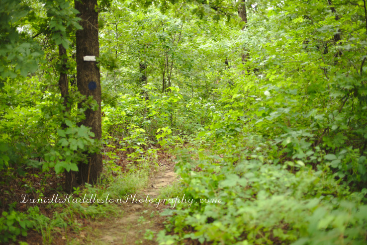
marker

I fared better during this hike, it is nice to know I am in better shape than I once was.

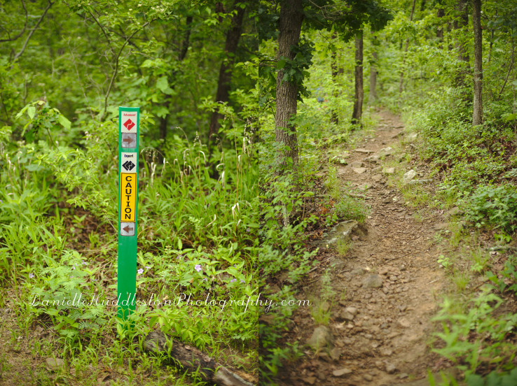
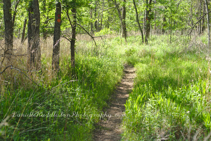
There is an easy loop for beginners(green).

It is a stacked loop system with 8miles of trail total with the longest uninterrupted loop(with portions of each loop) being around 5 miles.

nicktrail

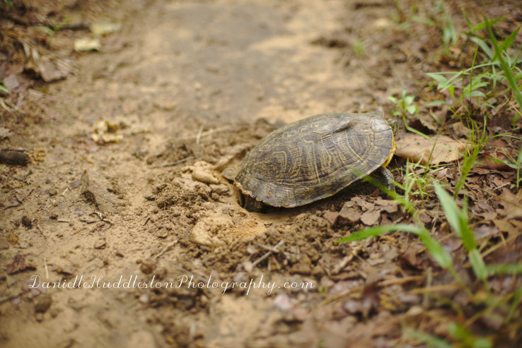
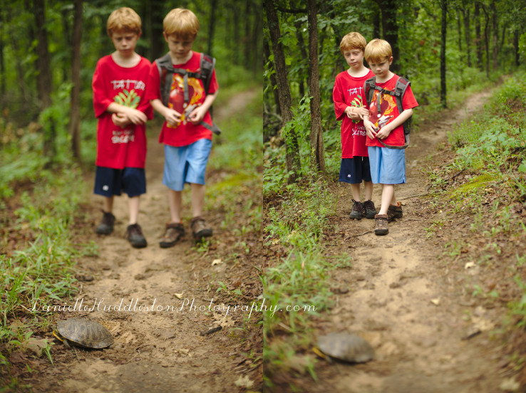
turtle

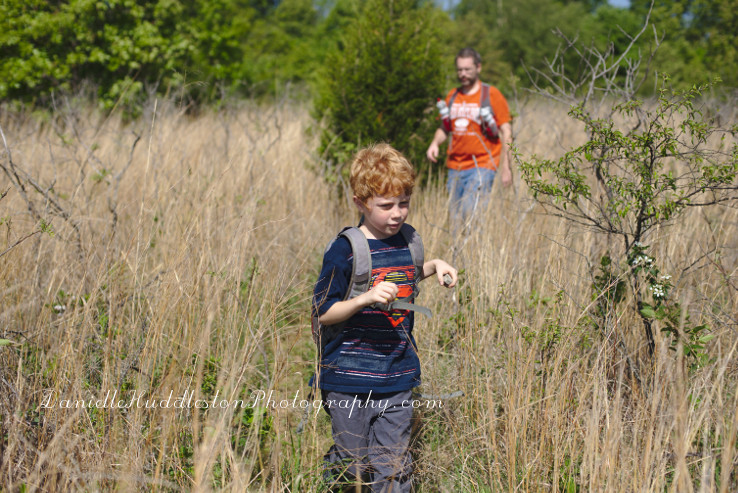
We saw two turtles nesting while out!

I had never seen this before!

turtletrail

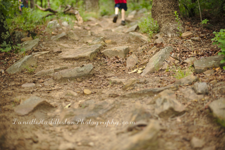
rocky

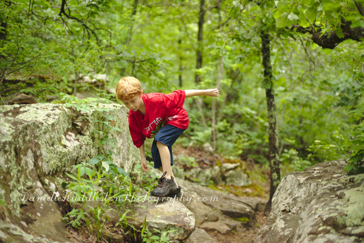
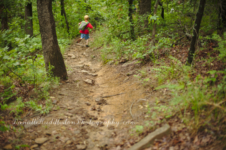
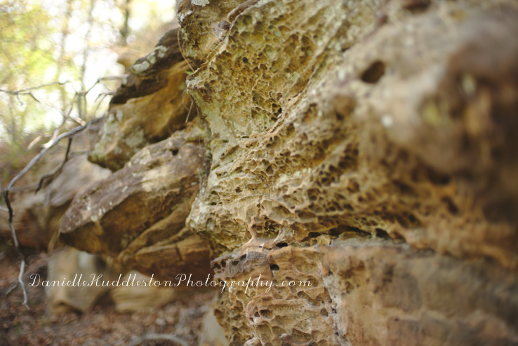
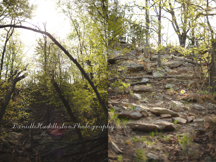
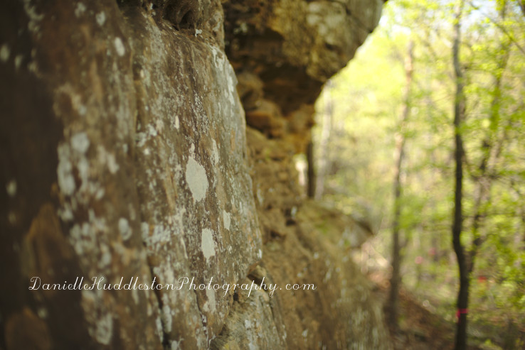
Portions of the trail are really rocky so I try to make sure I have sturdy boots when hiking there.

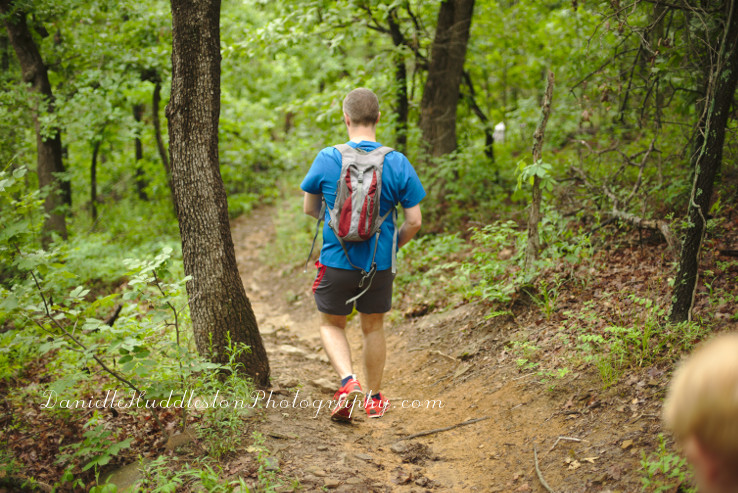
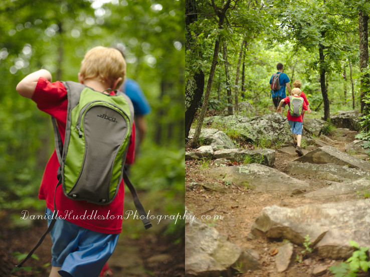
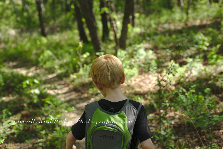
backpack

rocks

trail4

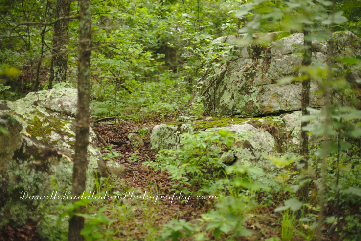
rock

trailsigns

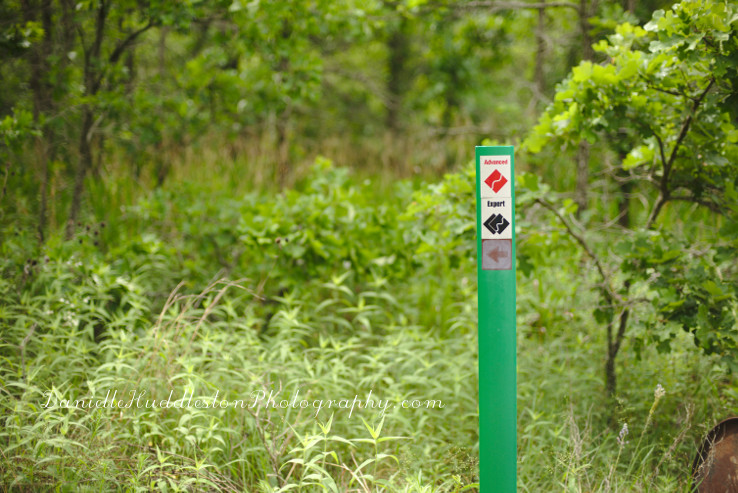
I think the difficulty rating is geared more towards bikers but I am not one hundred percent sure on that.

The Expert portion does not seem as difficult as others we have done with a similar rating.

tatur

ferns

You can avoid brushing up against foliage for most of the trail so we were able to walk away with few if any ticks.

plants

break

curls

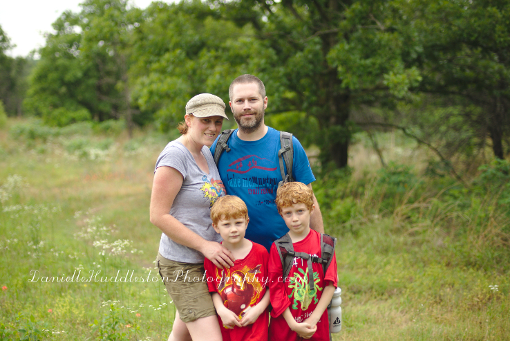
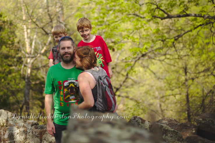
myboys

kentucky

expert

creek

trail5

paintbrush

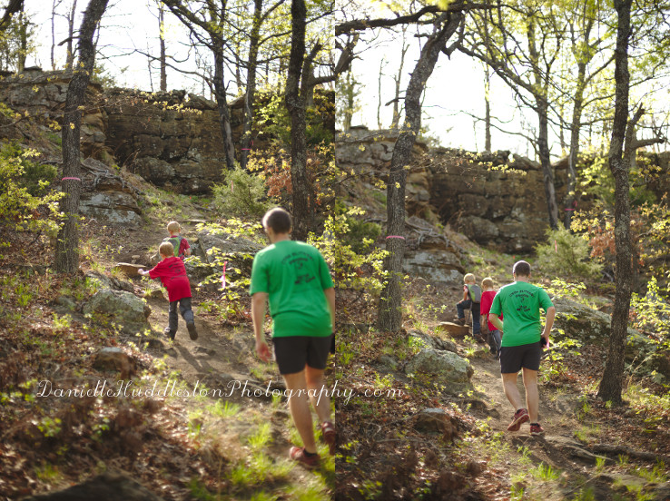
climb

trail3

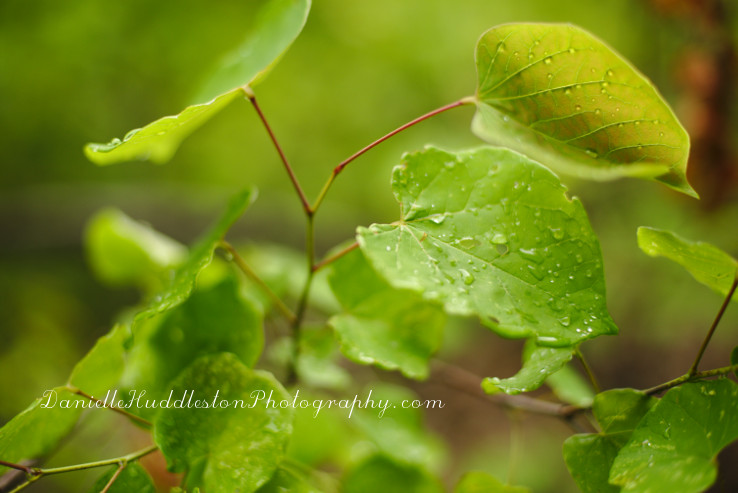
waterdrops

We heard a storm coming but thankfully it was not too bad.

I welcome rain while hiking(I was hot!) but I had not brought a bag for my camera and I do not like to hike in a thunderstorm.

trail2

rain

His hair goes curly in the rain.

family

We ended up with over 5 miles!

Nick had been in China for a week so I was pretty happy to be able to get out and hike a longer hike!

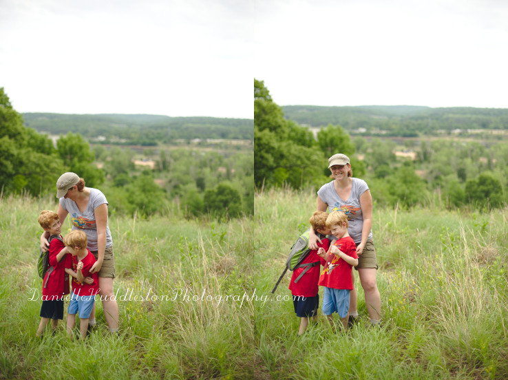
I try to stay away from long hikes when I am alone with the boys.

It felt really good to push myself!

If you live in the area you should check out this trail!

It is a great hike!

If you want to find more local hikes I have made it easy for you.

Check out my Oklahoma board on Pinterest, I included the map feature so you can easily find hikes and events I have done or want to do in the area.

Sheppards Point at Heyburn Lake ~Kellyville, OK

shepperdscove

For the past three years we have gone on a Mother’s Day hike.

We hiked Saturday and Sunday this year!

On Saturday we headed to Heyburn Lake’s Sheppard Point.

I wanted to check out the Rattlesnake Trail there.

redandorange

trail

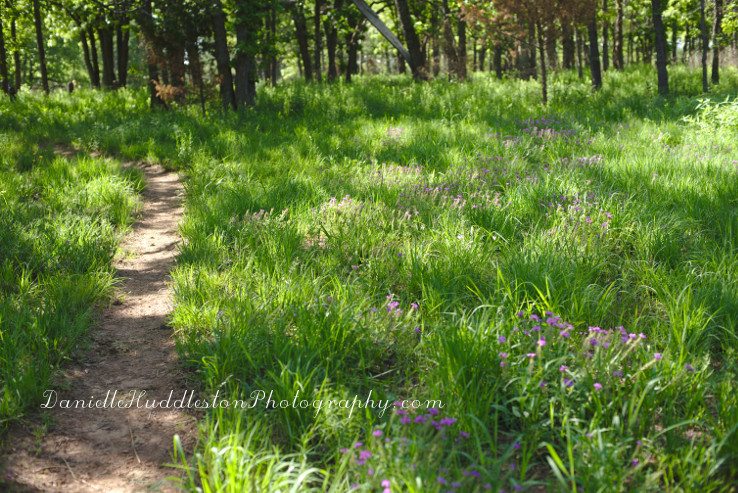
flowertrail

boothilltrail

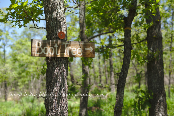
You take the trailhead to the Boot hill trail.

We took the scenic route instead but you can feel free to take the more direct approach.

Some call it getting lost but I like to think of it as exploring…

poisonivy

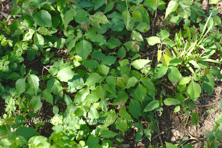
Despite the hot weather we all wore long pants due to poison ivy, chiggers, and ticks.

It is a good idea to wear long pants on any trail that you know is narrow.

roadcrossing

You cross a park road to continue on the trail.

theway

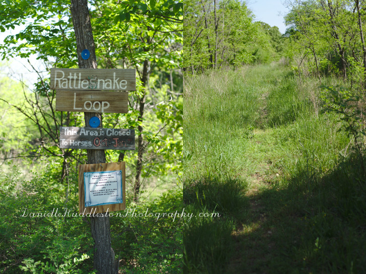
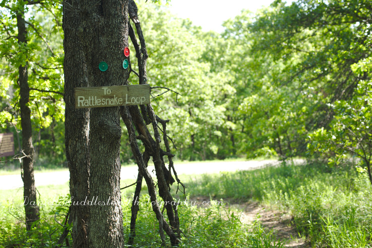
Then you will see signs for the Rattlesnake Loop.

As far as I know it is not a loop.

Does anyone know why they call it that?

roadrattlesnake

You will need to cross another road to get to the trail.

rattlesnakeentrance

There is a lot of tall grass on this trail.

trailgrass

I usually try to avoid brushing up against things while hiking but that was impossible on this hike.

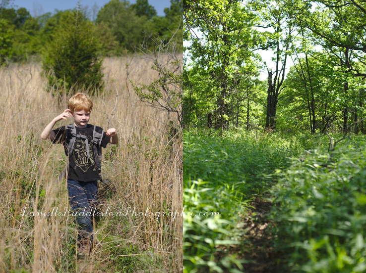
My youngest summed up this hike really well.

“It‘s like an obstacle course of ticks, thorns, and those furry plants.”

grass

I do not think I have every had that many ticks on me before.

We stopped to take them off a lot.

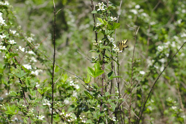
butterfly

trailboy

It was a beautiful hike though.

soft

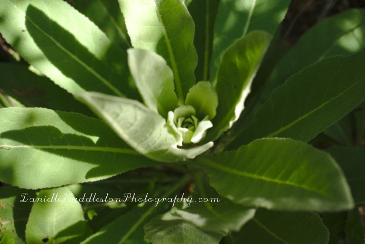
The boys loved this soft plant.

water

Nick put a little bit of water on one of it’s leaves so the boys could see what happened.

woods

boothill

We turned around before the end of the trail(the trail is around 4.5 miles one way).

us

We ended up doing over 7miles.

We will definitely try out this trail again but will wait until the cold weather to do it.

Way too many ticks otherwise!

Wilson Trail, Keystone Ancient Forest ~Prue, OK

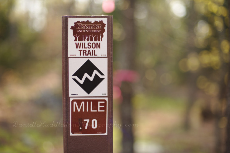
trailAfter we heard that the Keystone Ancient Forest had a new trail open we decided to go check it out.

We had gone last year when everything was dormant and were not sure it was for us because the trails were just too easy.

treesThe Wilson Trail was listed as very rugged though so we were pretty hopeful.

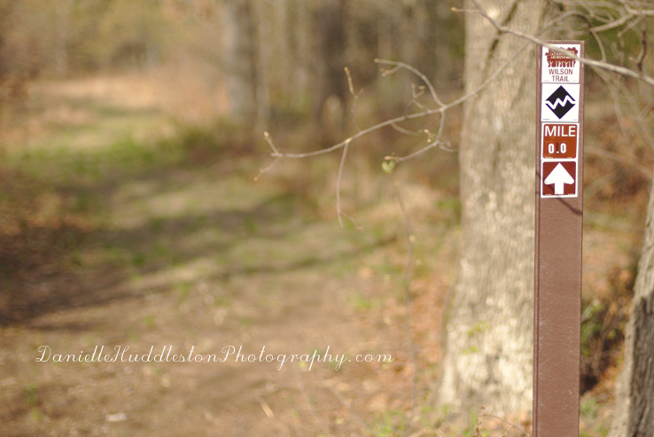
trailentranceTo get to the start of the Wilson Trail you first need to go on the Chandler Trail and then the Frank Trail.

The Wilson Trail is on the left where the fire access road and the Frank Trail intersect.

wilsontrailIt is a .90 mile loop.

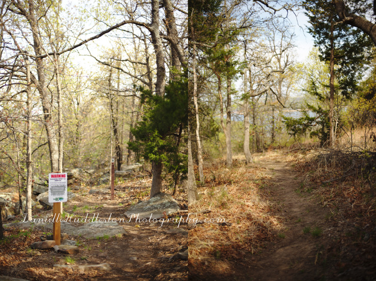
wilsonwarningI thought the warning sign was good.

We really like rugged trails.

trailwoods

rocksIt started dropping and having a lot of rocks.

In other words, fun!

rocks2

goingdown

rocky

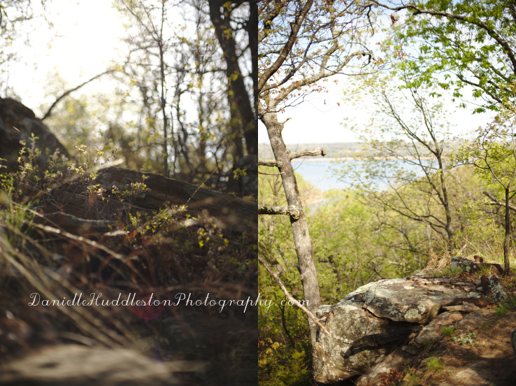
beautifulThis was an absolutely beautiful trail.

day12I did not want to leave.

Plop a cabin right on the that hillside for me and I would be happy as a clam(why is a clam happy?).

happy

upWhat goes down…

trailmarker

rockwall

sunlightWe will definitely go on this one again!

theway

mapWe went ahead and went to the end of the Frank Trail, it ends at an overlook with information about Washington Irving’s exploration of the area.

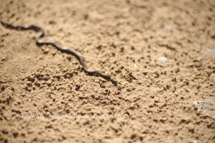
ringneckedThis little Ring-Necked Snake was sunning on the trail.
study

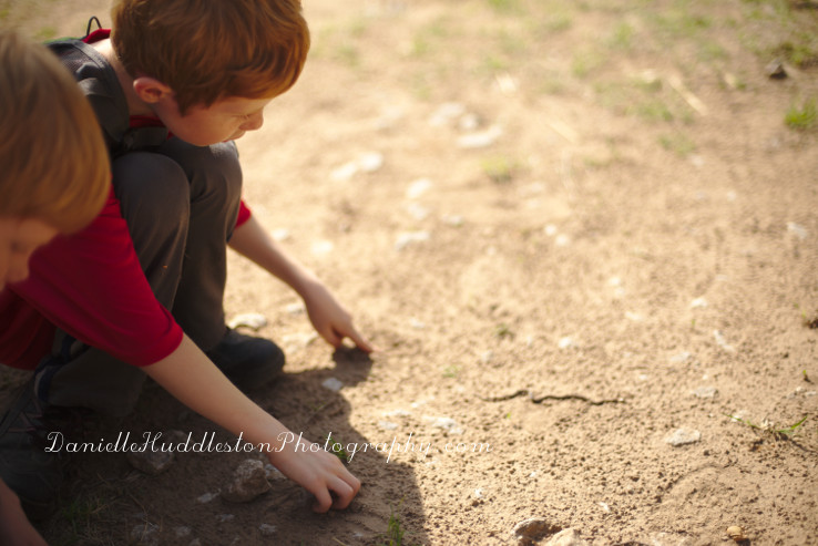
Yes, I laid on the ground with the snake to get a shot…

onthegroundSince we did all three trails we ended up with over 4 miles total.

They are only open on Saturday’s so be sure to check out their site before you head out.

 If you want something easy be sure to check out the Childers Trail, it is paved and only .60 miles.