 On our way to Beavers Bend State Park we stopped at the Sequoyah National Wildlife Refuge and Heavener Runestone State Park.
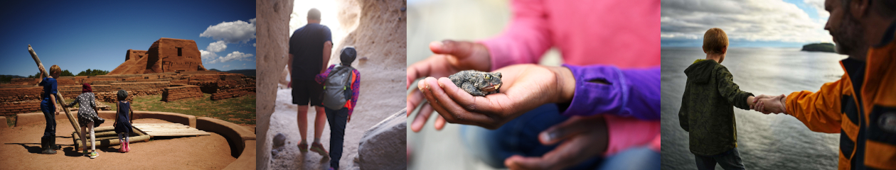
The picture above was taken at Heavener.
It was POURING so we did not stay there very long.
We just walked down to see the runestone and then slipped and slid our way back up.
 By the time we arrived at Beavers Bend State Park the rain had stopped!
Even though they had their big festival going on we had our choice of campsites because of the rain.
 We chose a campsite right on the river between Grapevine and Hickory campsites.
I am not sure which one it was since it was in the middle of them both.
You could not park down at these sites but the parking was close by.
No one else was camping anywhere near us!
 The boys loved the really nice playground they had at the park.
Of course!
We travel hours away from home to a brand new park and all they care about is the playground…
 The deer were EVERYWHERE!
They seemed like they were used to people being around also.
They would just ignore you as you took as many pictures as you wanted.
 The view from the Cedar Bluff Nature Trail.
It connects to their big trail the David L. Boren (26miles) but we did not go very far on it.
We had our dog and my husband was worried about the rocky terrain hurting her paws.
 Next we took the Pine Ridge Nature Trail to the Heritage Center.
They have a museum there and an old log cabin so be sure to check it out if you go.
 As we got closer to the Center there were signs with information about the animals and trees we were seeing.
It was a very kid friendly trail.
 The fall colors were really pretty.
I love rain soaked leaves!

 Over all it was a really nice park.
Since the Ouachita National Forest is on the way we tend to just go there instead.
I was told by many people that I needed to make the trip to Beavers Bend and I am happy I did.
That being said, we will probably continue going to Ouachita.
I love the Mountain terrain and it is a little bit closer.


